Kananaskis (K)
Mount Sarrail (angles)

Mount Sarrail (angles)

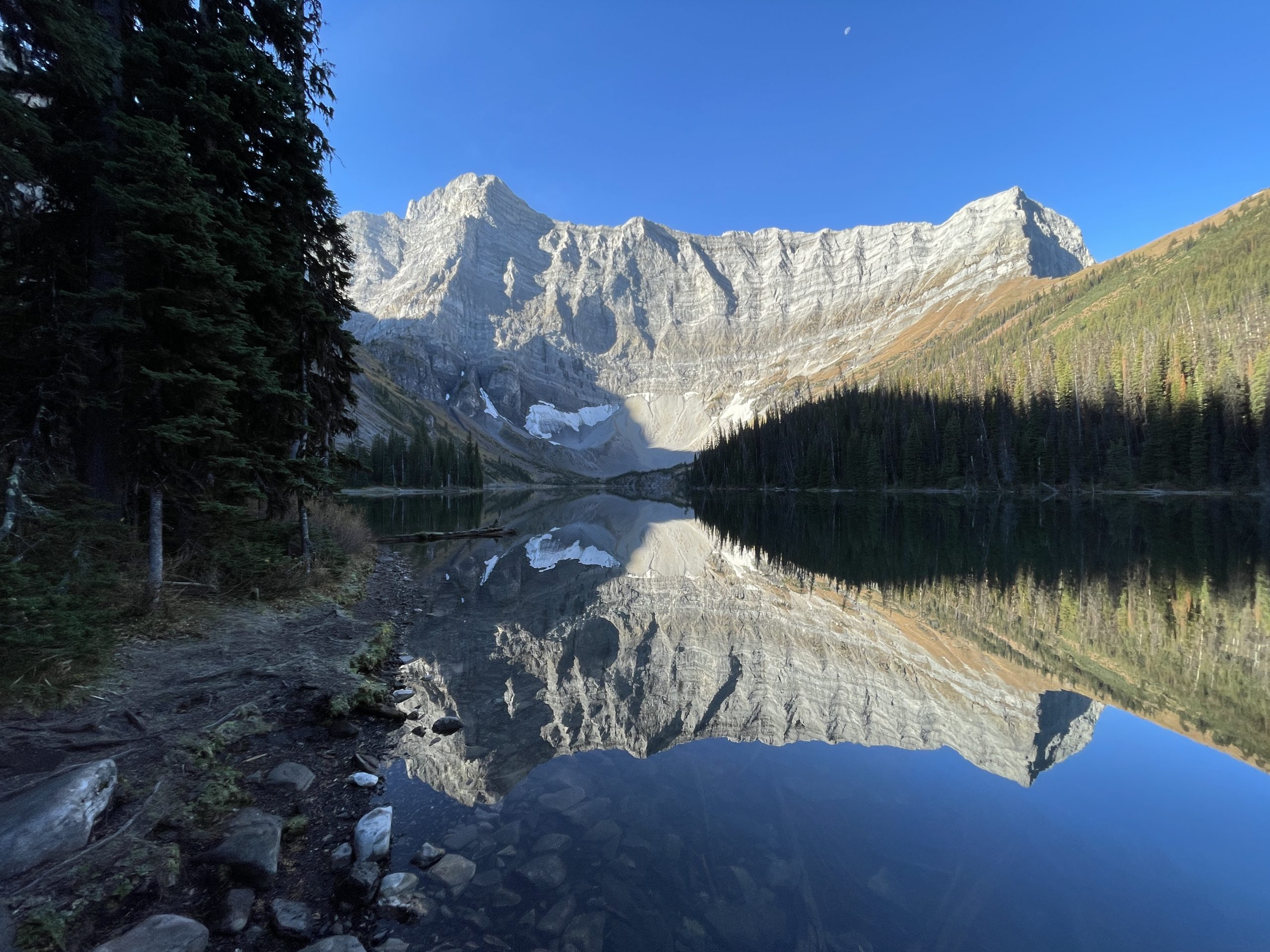
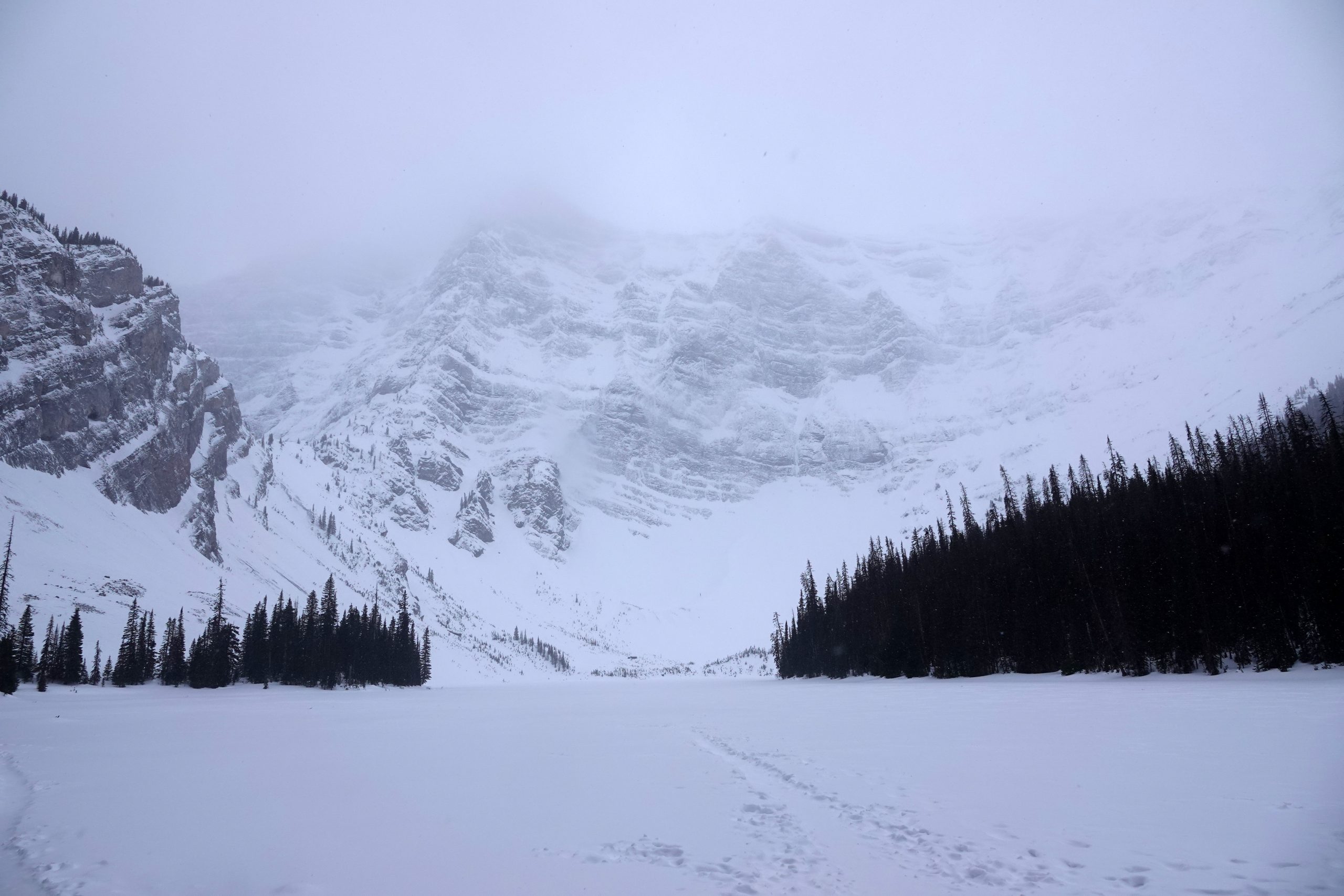
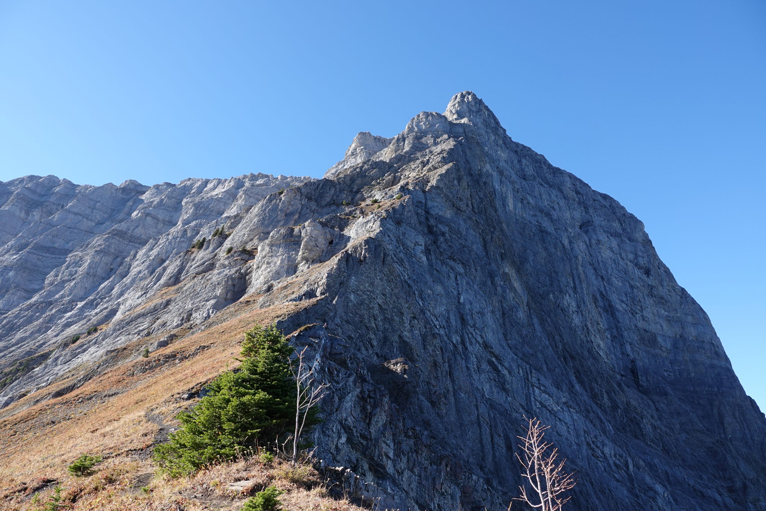
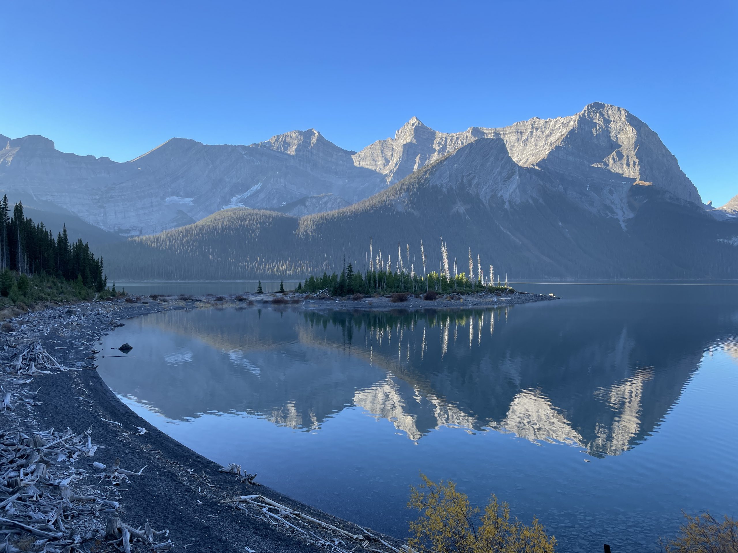
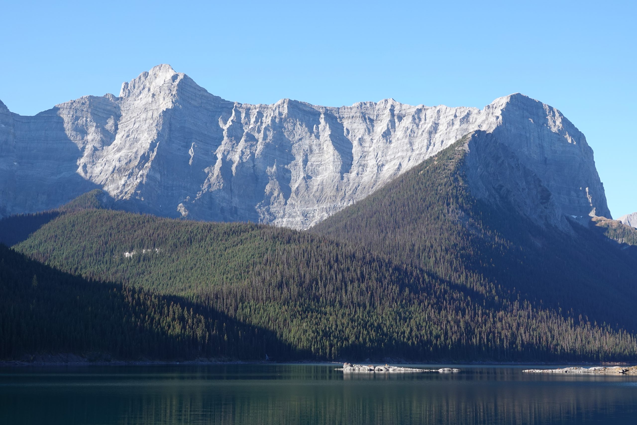
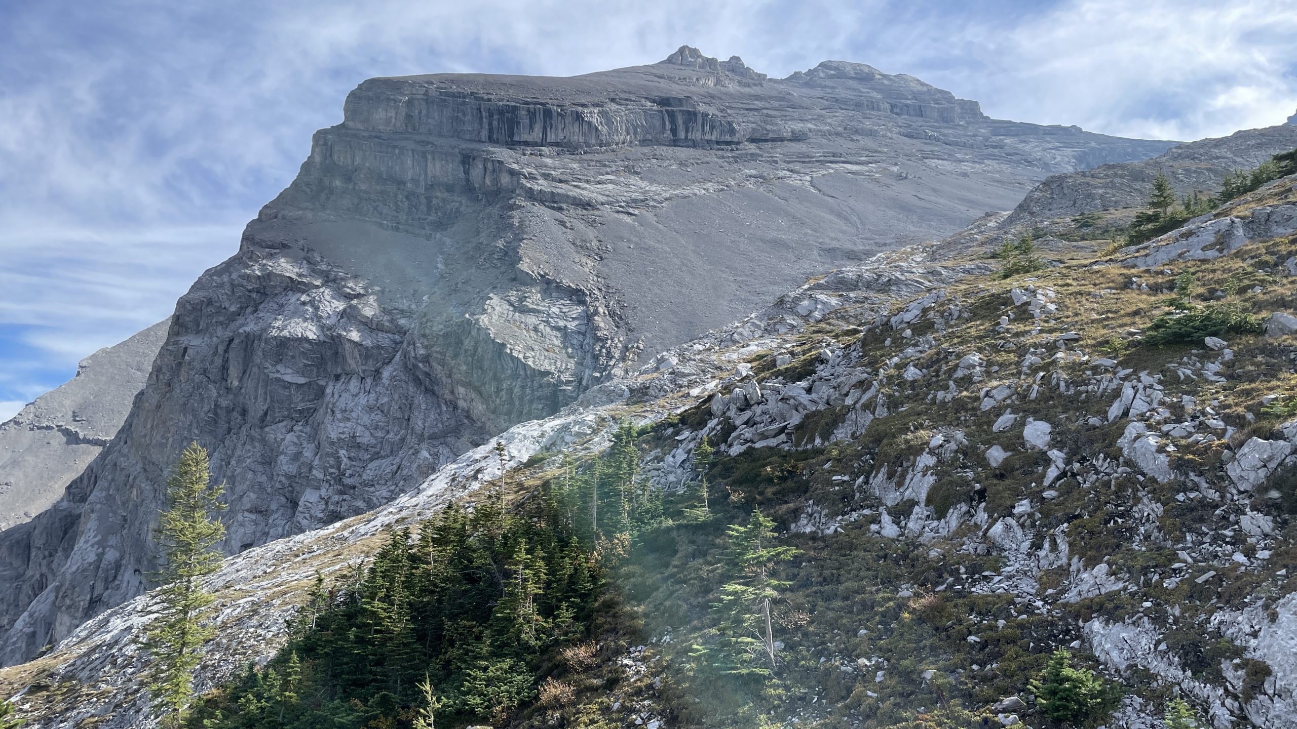
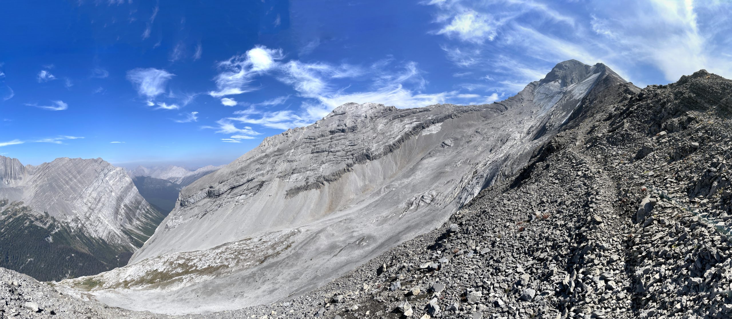
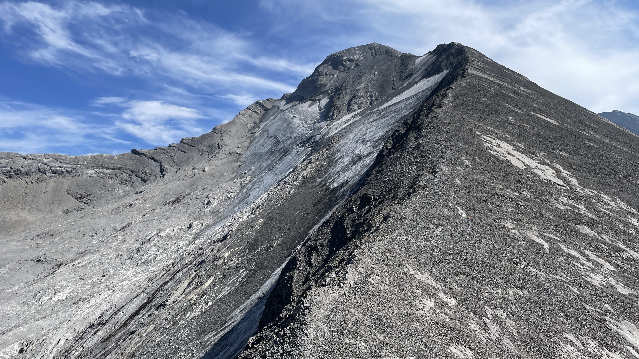
Mount Sarrail is a 3,159-metre (10,364-foot) mountain summit located in Kananaskis Country. Mount Sarrail is situated 1.0 km north of the Continental Divide, within Peter Lougheed Provincial Park. Its nearest higher peak is Mount Foch, 1.0 km (0.62 mi) to the southeast. Mount Sarrail can be seen from Upper Kananaskis Lake and Alberta Highway 40. The mountain was named in 1918 for General Maurice Sarrail (1856-1929), the commander of the French Third Army in World War I (Wikipedia). Here are photos of Mount Sarrail from different perspectives taken during our hikes.

From Rawson Lake

Mount Sarrail and Sarrail Ridge seen from Rawson Lake
Mt Sarrail seen from Rawson Lake in February

From Sarrail Ridge

Mount Sarrail seen from Sarrail Ridge

From Upper Kananaskis Lake

Mt Sarrail from Upper Kananaskis Lake trail
R2L: Mt Sarrail & Sarrail Ridge, Mt.Foch, Mt.Fox, The Turret as seen from Upper Kananaskis Lake
Mt Sarrail and Sarrail Ridge seen from Upper Kananaskis Lake

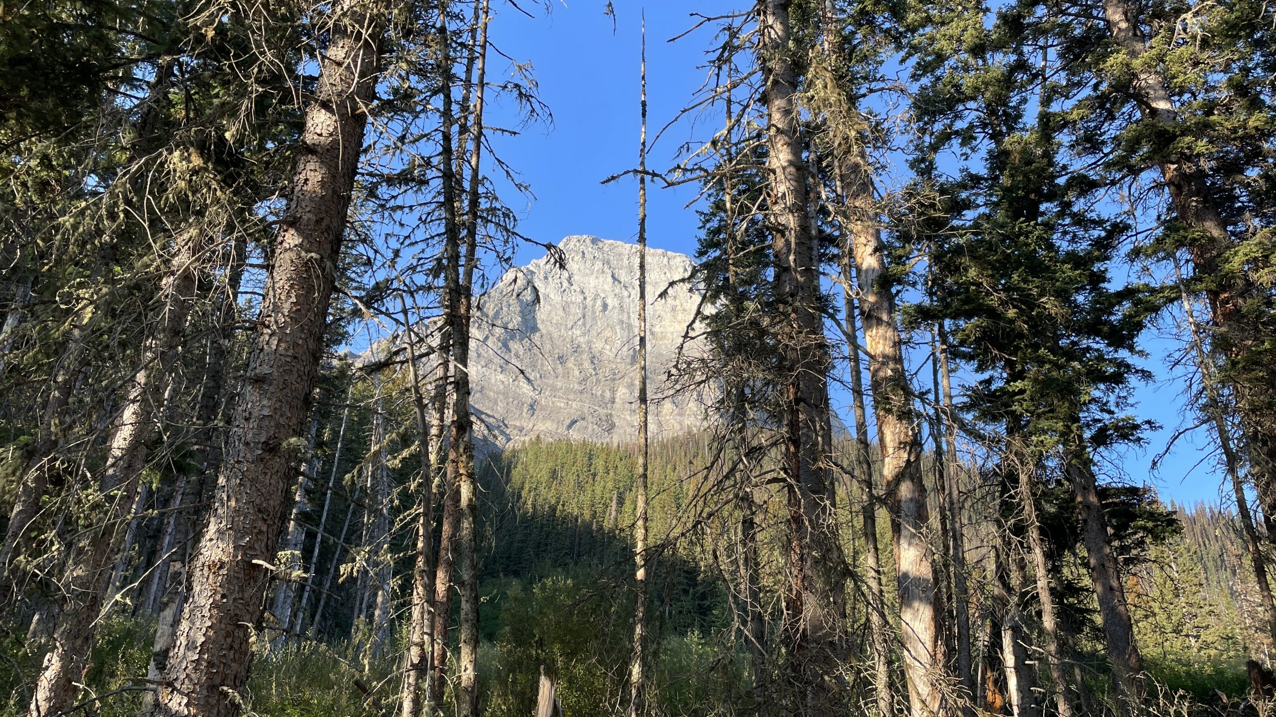
From Aster Lake ascent route

Mt Sarrail outlier seen from Aster Lake ascent route
Panorama from ridge ascent to Mt Sarrail
Ridge ascent to Mt Sarrail

Leave a Reply

Your email address will not be published. Required fields are marked *