")
Mount Collembola (solo attempt)
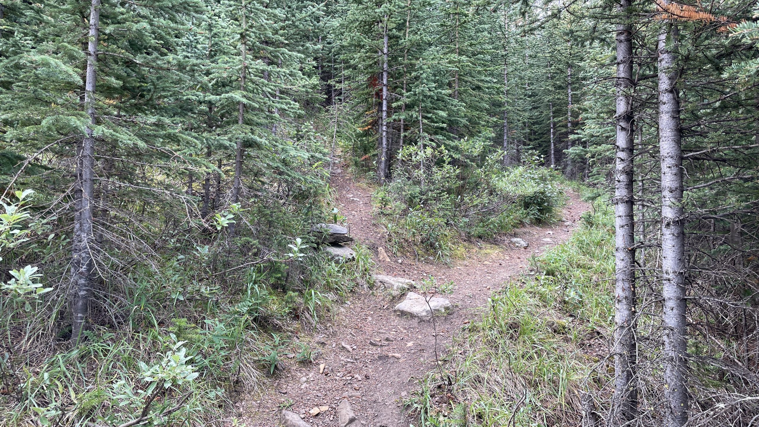
Because of BC wildfires smoke here and there I was not sure about a hike this weekend till the very last moment, and only when saw that Three Sisters are more or less visible from Bear & Bison Inn life cam, decided not to drive far but finally to try North Mount Collembola Route from Dead Man’s Flats. The original intention was to do the Collembola – Allan loop to avoid bushwhacking on the way back, but everything above 3000m was in clouds, and at some point I figured that extra 2-3 km would not be very beneficial from photography perspective. The trail starts on the same parking as Wind Ridge which we did on Wednesday, so I knew it’s not far, cell service is working, so it was good for a solo hike. People suggest to bike a few kilometers from the parking lot and then hike the rest, – I would agree with this assessment, but don’t have a bike I could drop in a forest. So I just hiked the entire thing. Well, almost.
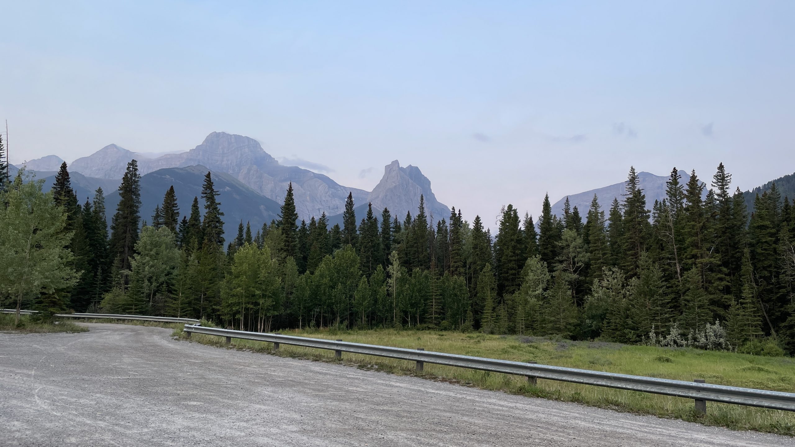
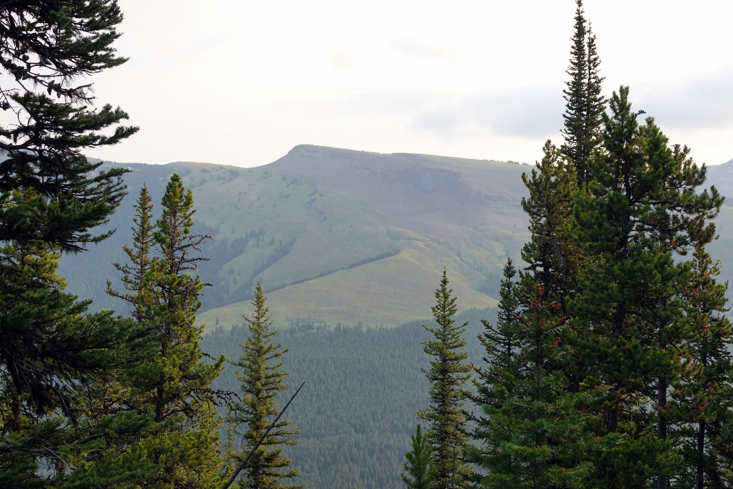
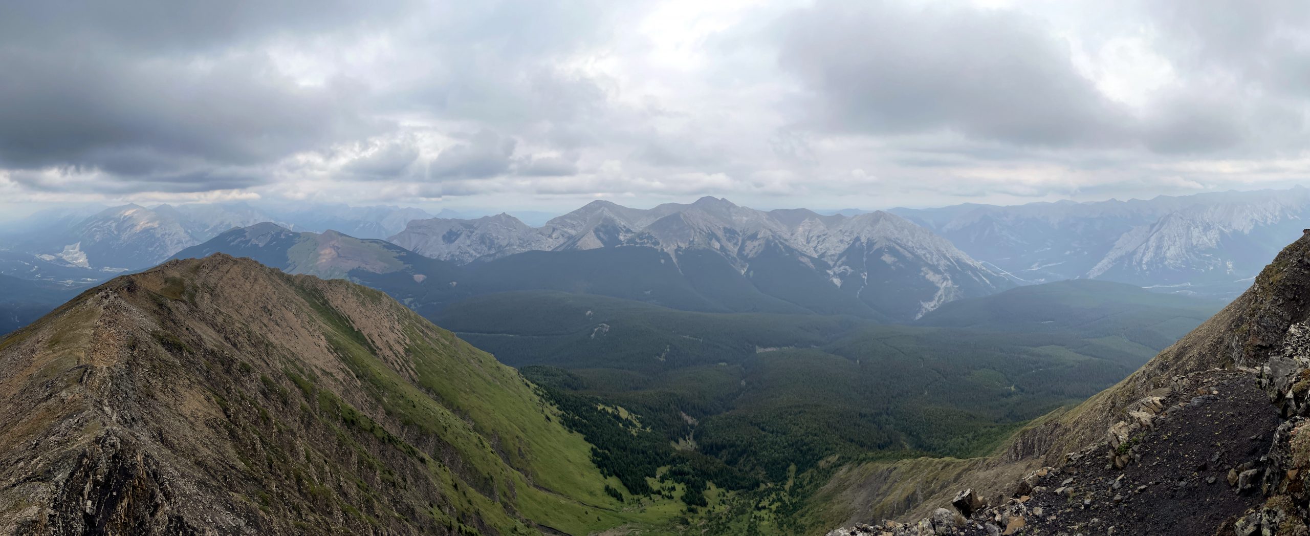
Big part of the trail goes by Centennial Ridge, all boring forest with a couple of narrow openings in Lougheed/Windtower/Rimwall direction
and another one in direction of Pigeon/Skogan,
then the North Mount Collembola Route forks to climber’s left
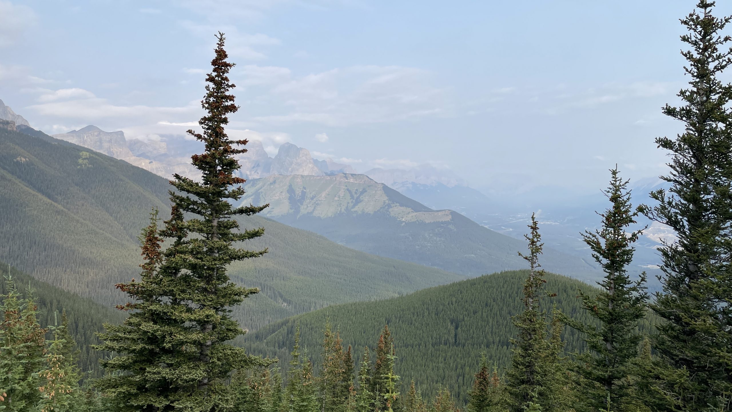
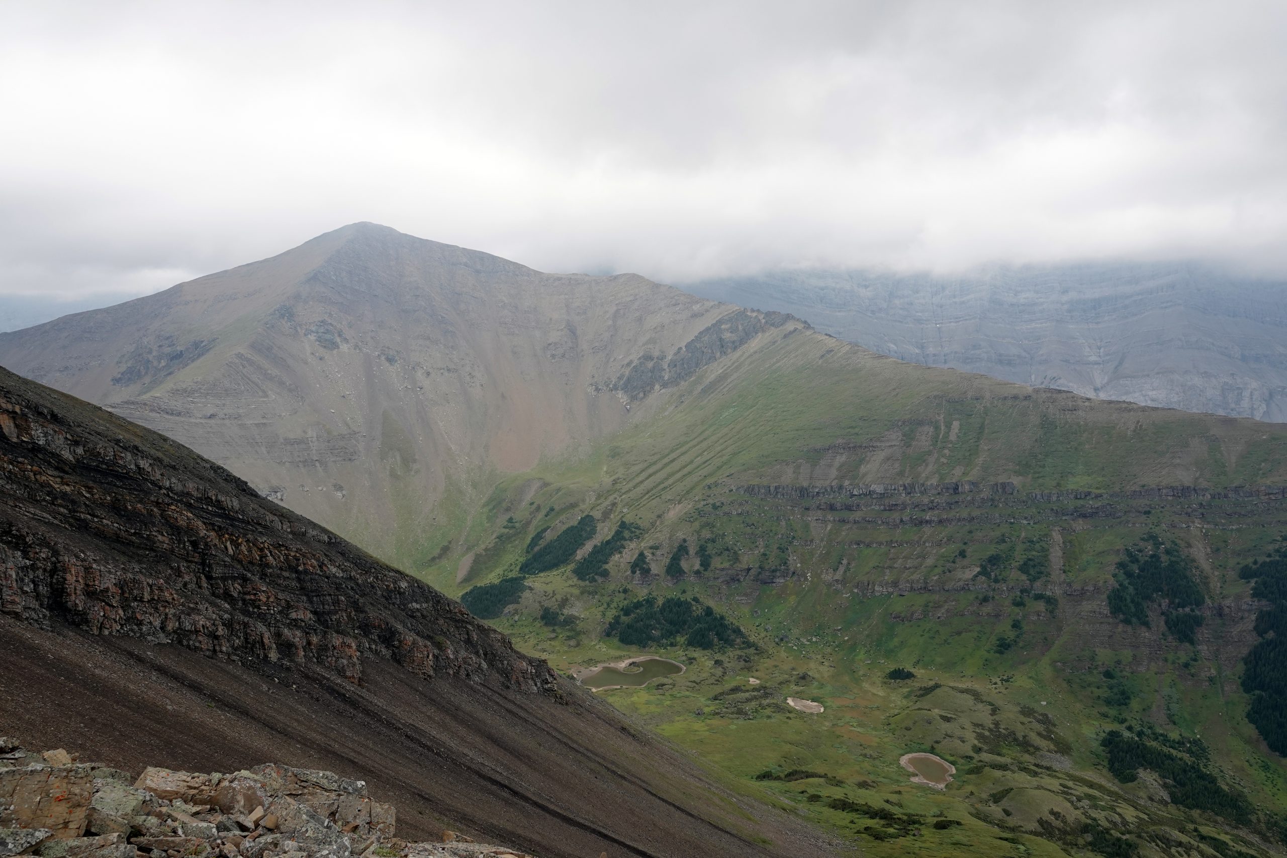
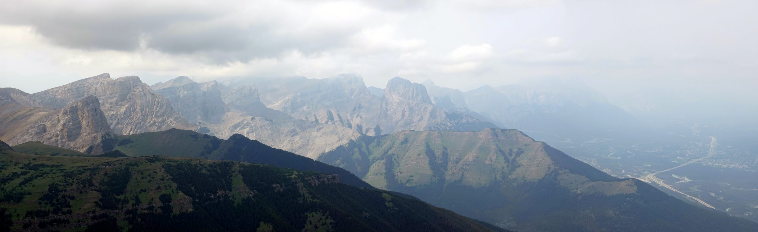
and after steep bushwhacking section you are above the tree line and can see Canmore in smoke, Wind Ridge, Centennial Ridge with Mt Allan, and some big peaks from higher angle and no trees blocking the view. You need to scramble a few rocks, no biggie,
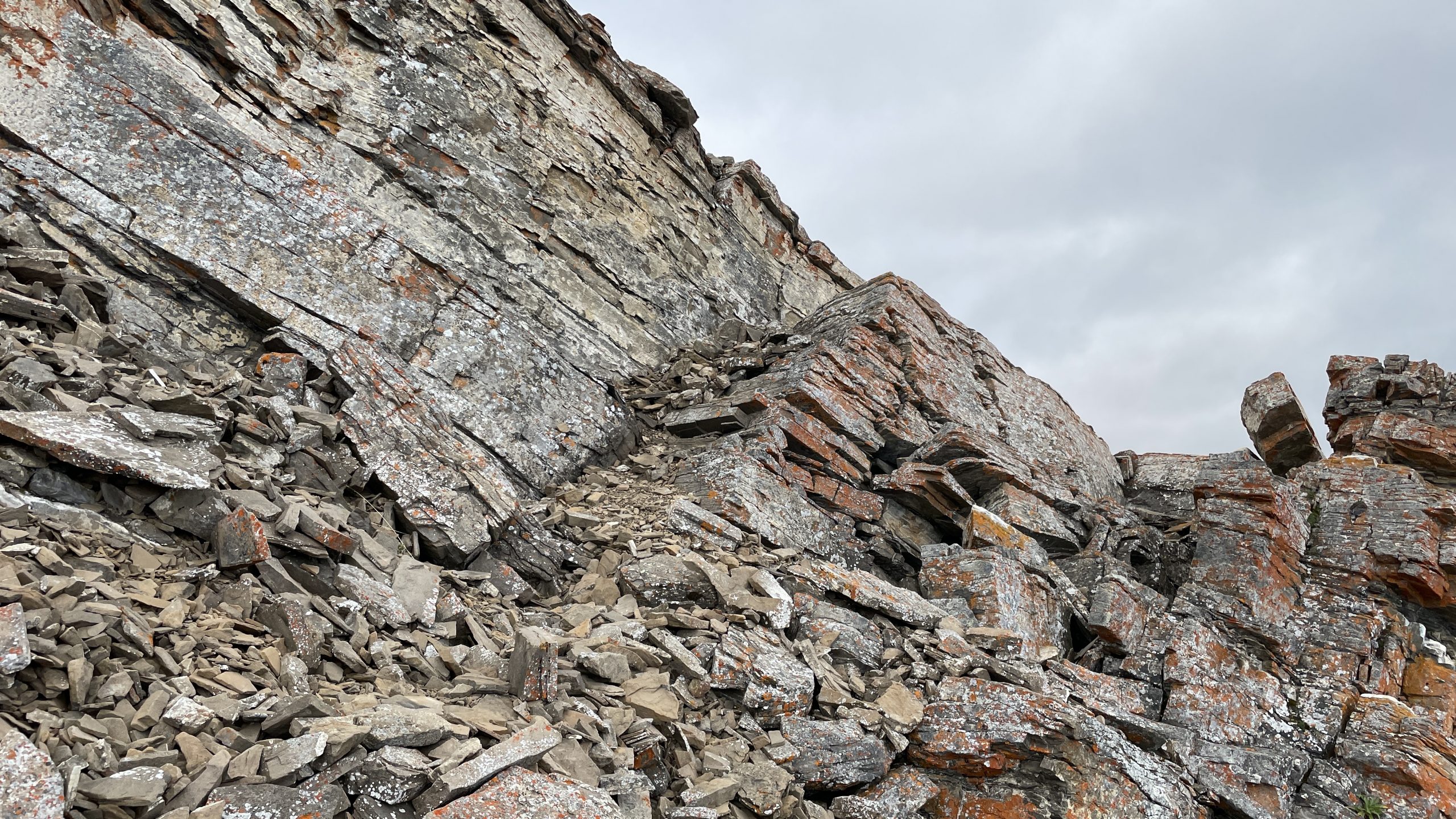
but at the end there is a final gully climb with losing scree, and you get to the bottom on the climber’s left of the summit block.
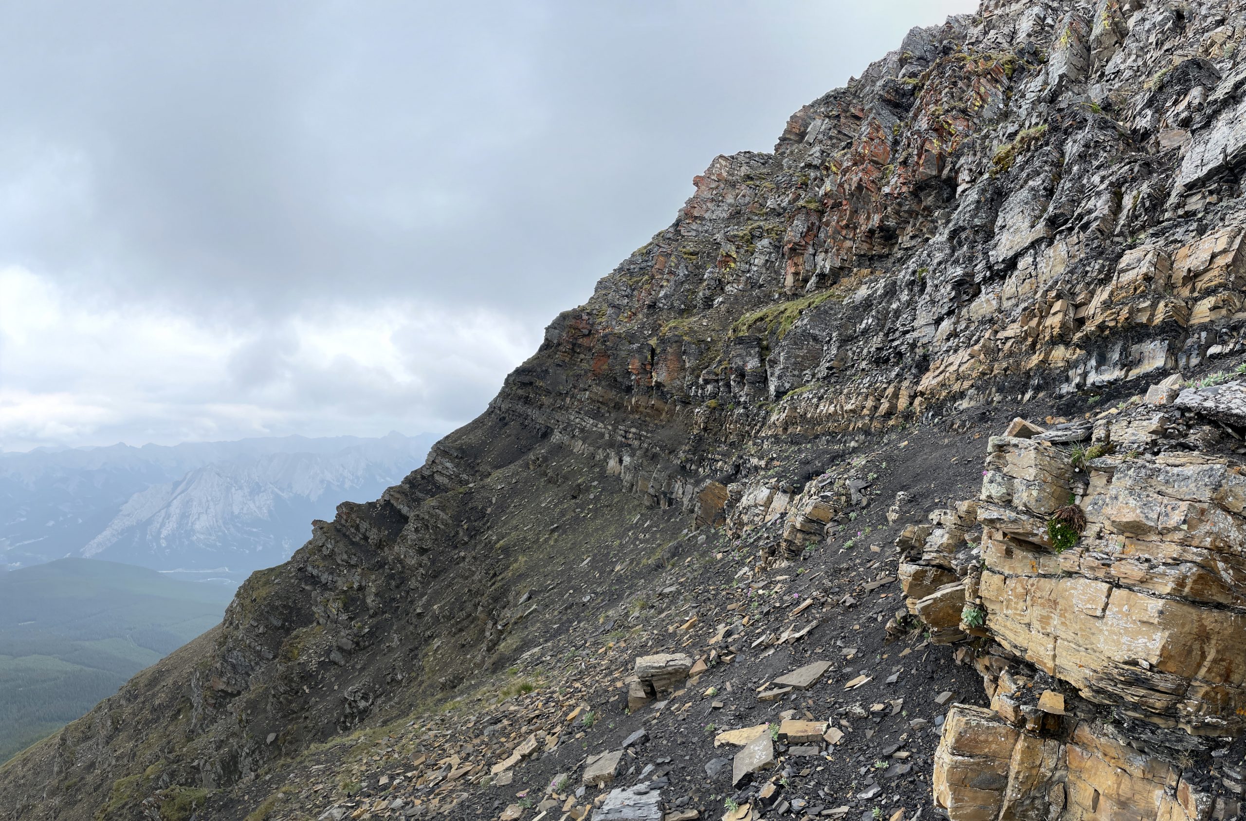
Only 23m of elevation left to the summit at that point, but I could not figure out how I am supposed to get there. I wish I knew that before starting the hike. This time, after 9km of steady incline, I had to spend some time trying to find the scramble route, tried that and that, but exposure finally scared me away. So no summit this time. Next time I will try South Route; some people suggest that there is no such crux over there. Maybe I can find the end of North Route from above, it’s usually much easier. Wondering if there is a doable path further around the summit block meeting the South route on another side. From what I saw it can be ledge with losing rocks and exposure.
More photos from Collembola attempt here.