")
Mount Pigeon (winter hike)
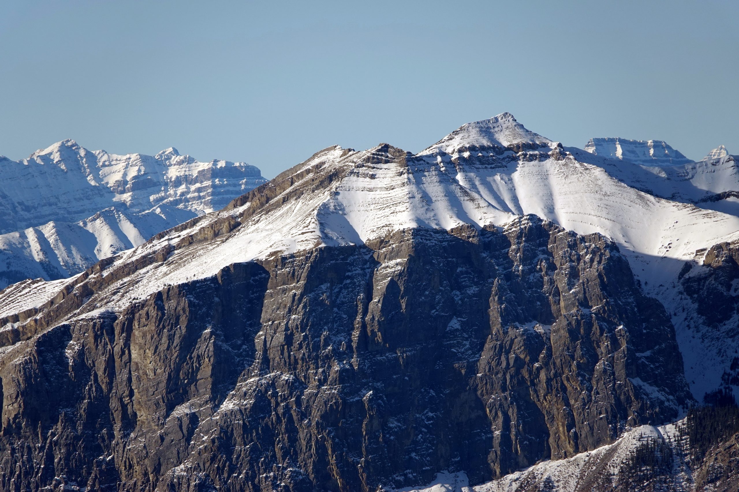
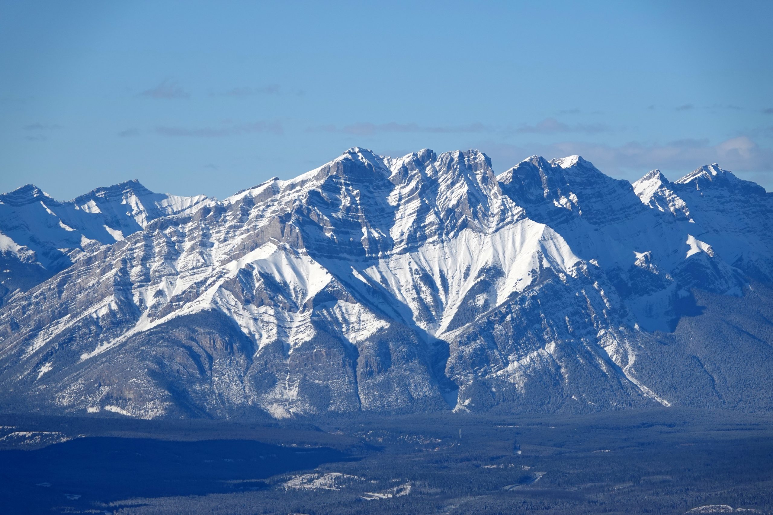
The North Peak of Pigeon Mountain offers a strategic vantage point, presenting an extensive panorama of the Canadian Rockies and numerous well-known peaks visible from this location. From the North Summit, you can see a broad array of peaks including:
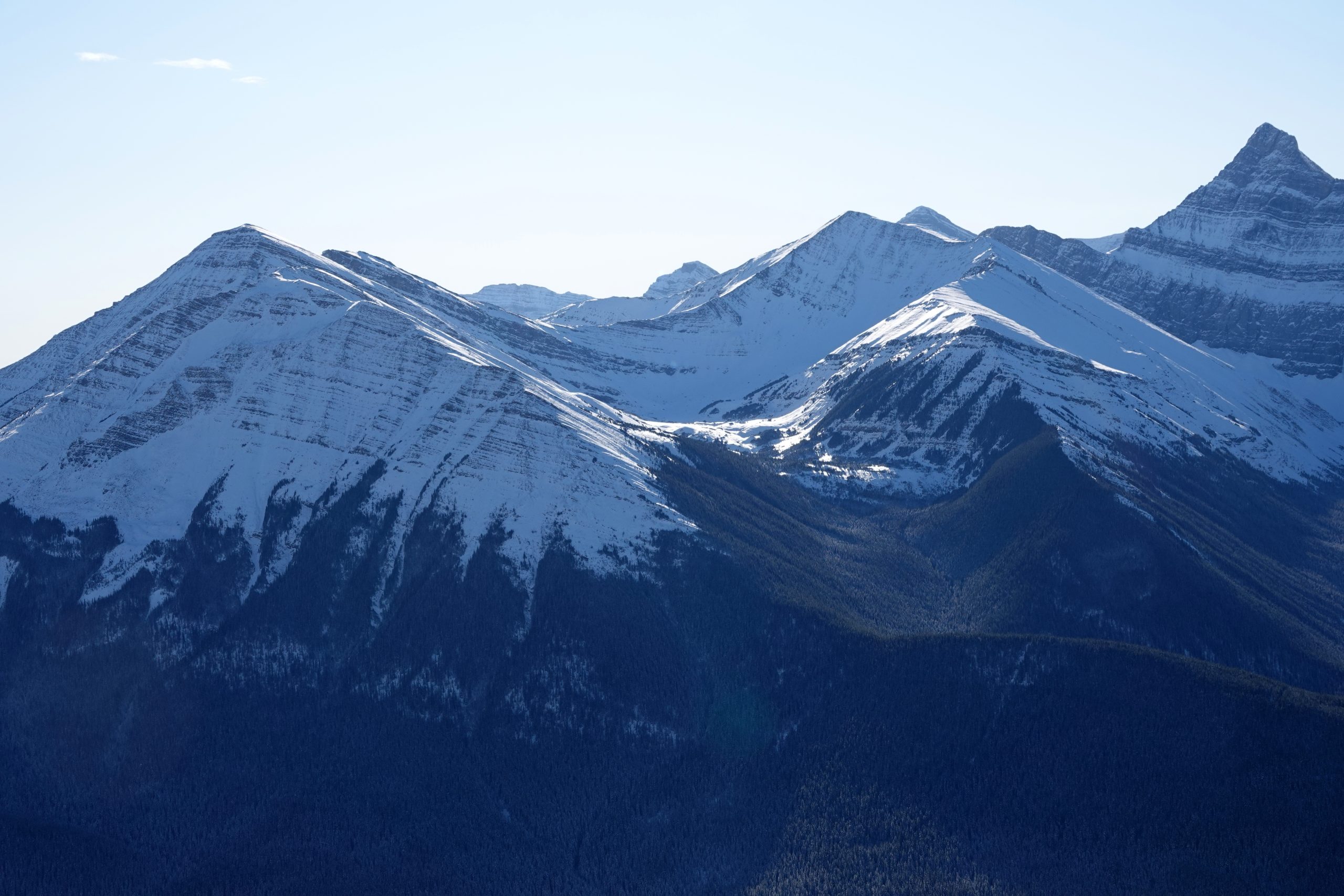
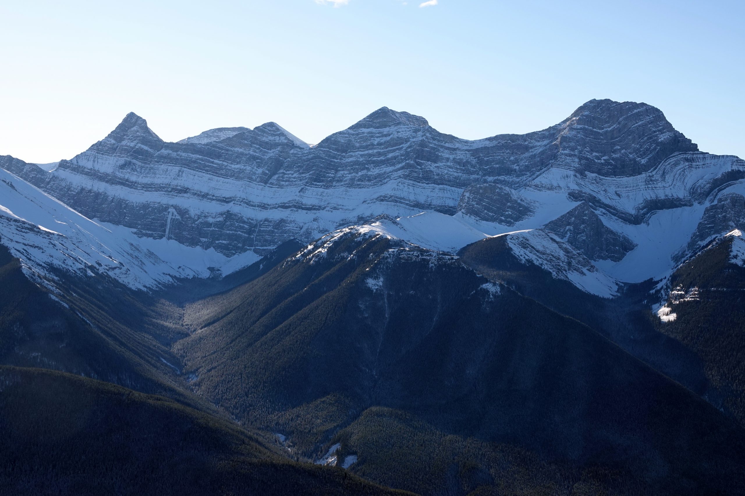
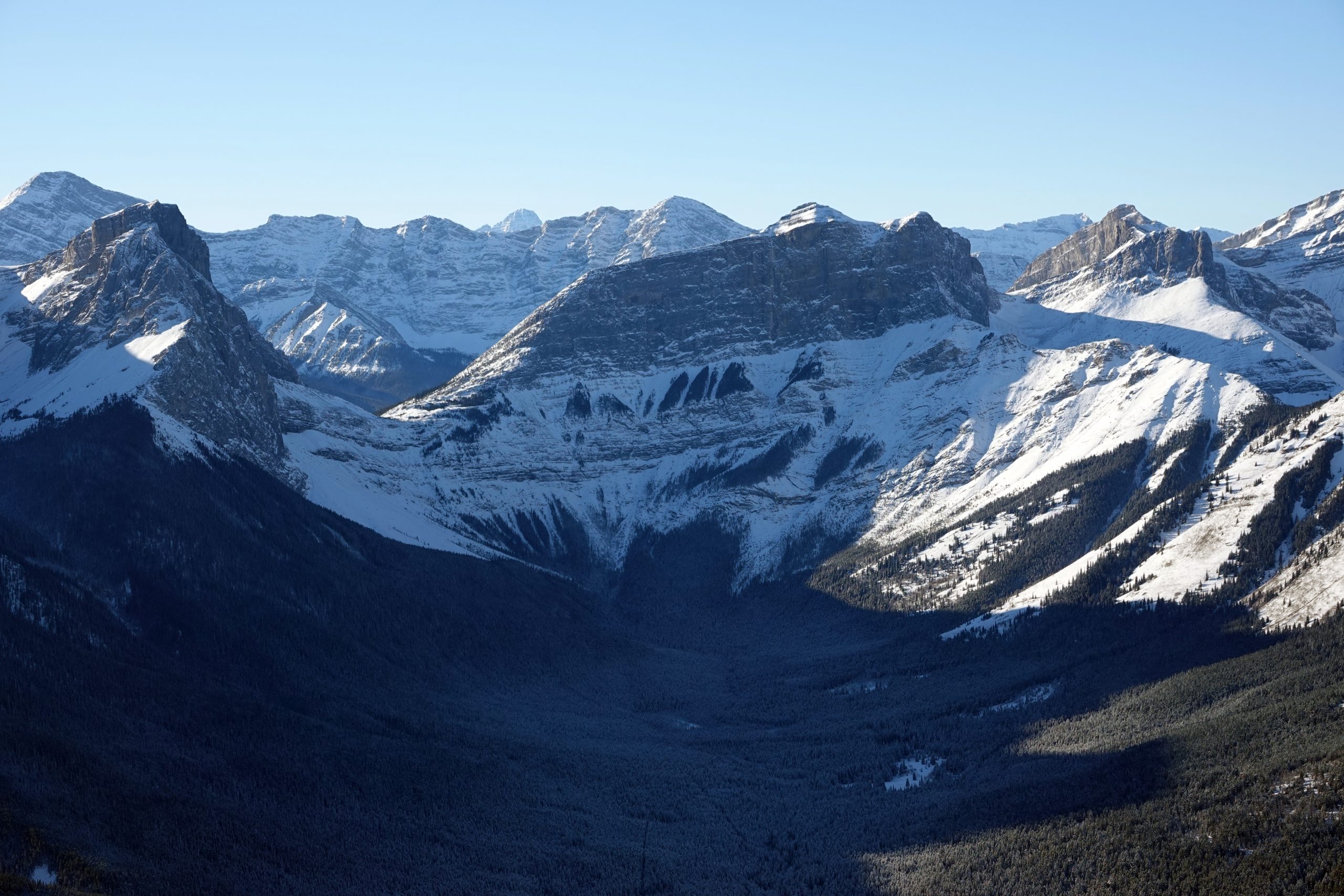
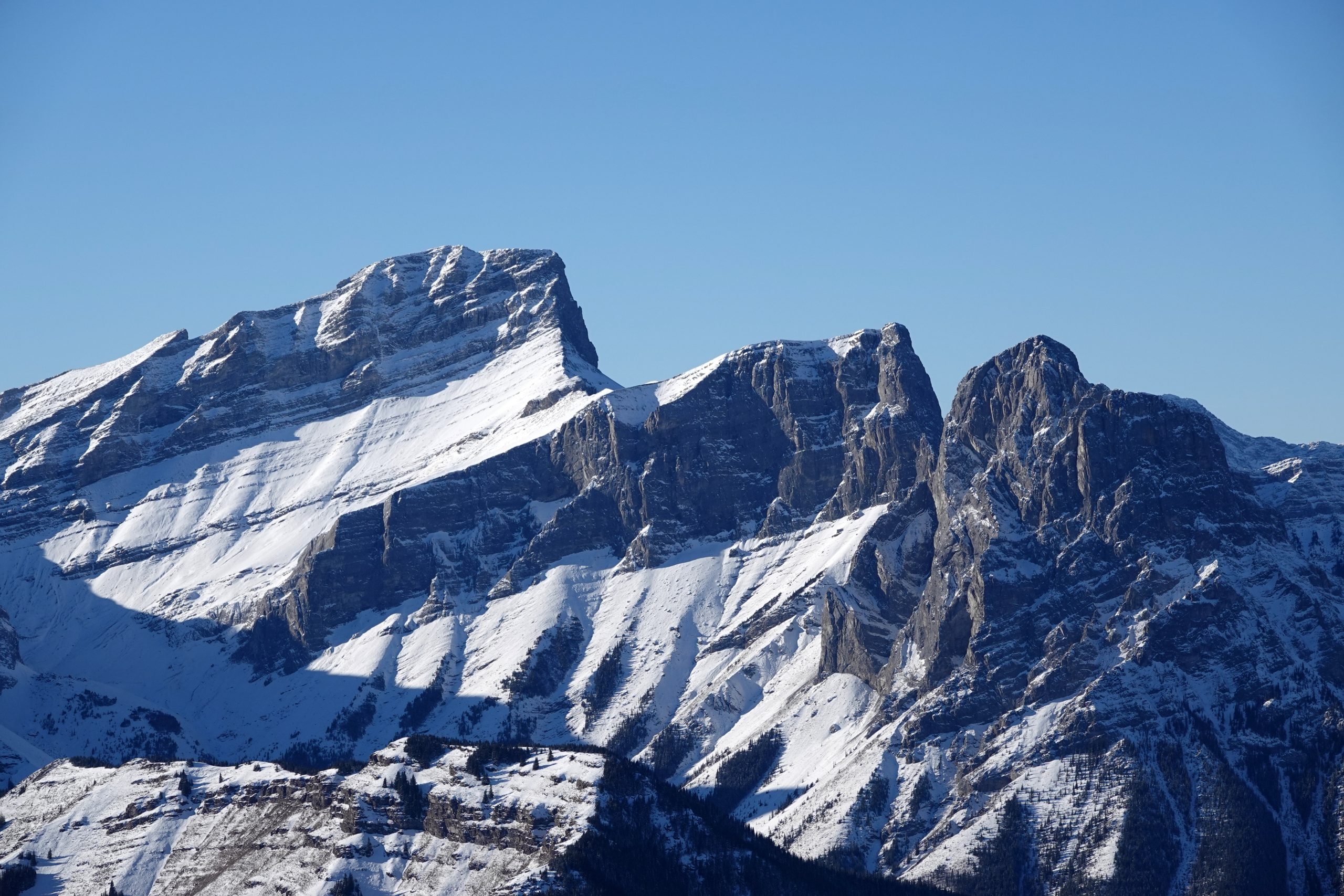
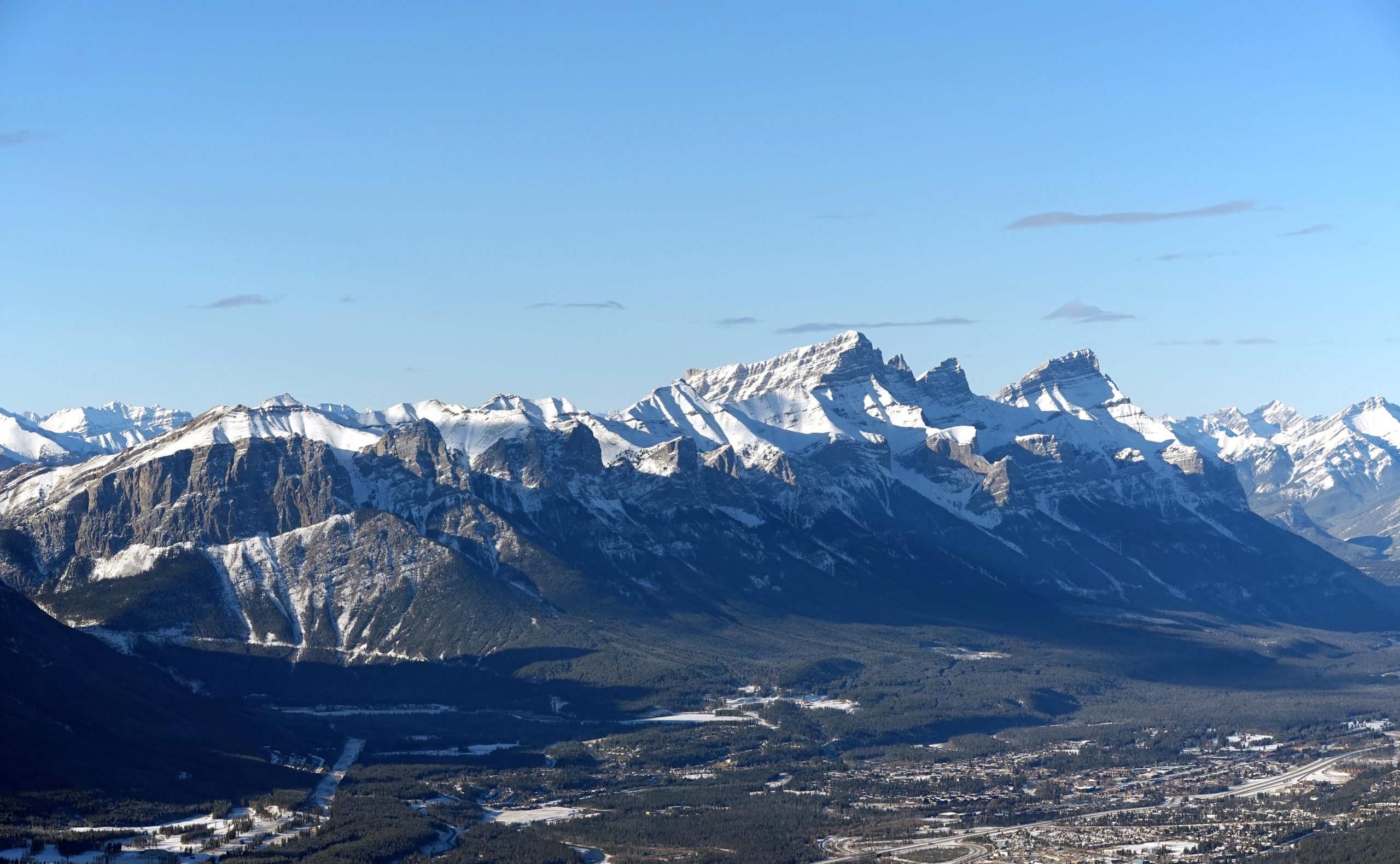
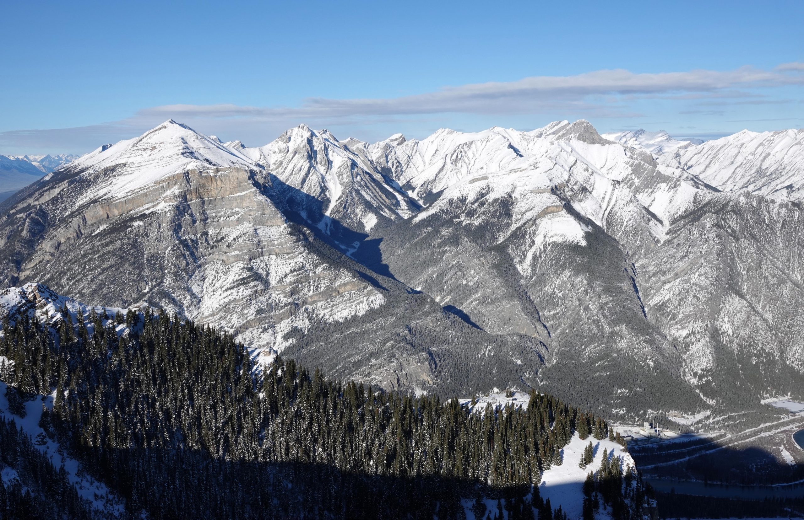
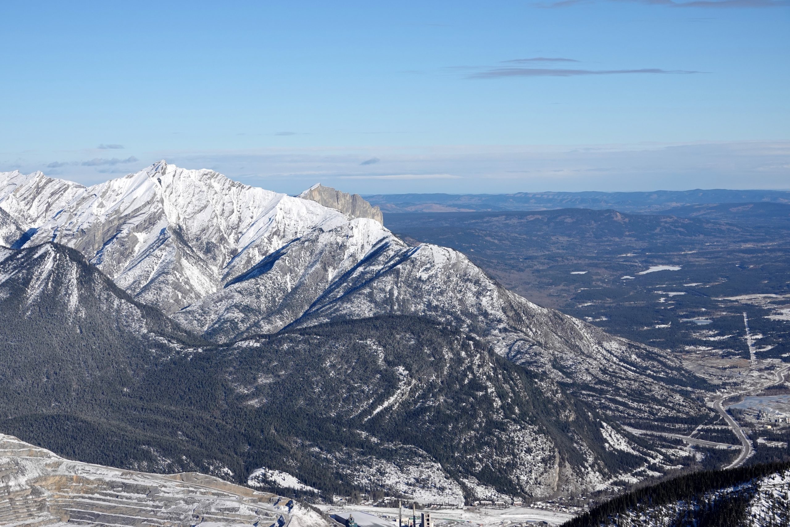
The views of nearby Mount McGillivray and Skogan Pass are particularly remarkable, offering a unique perspective on these areas.
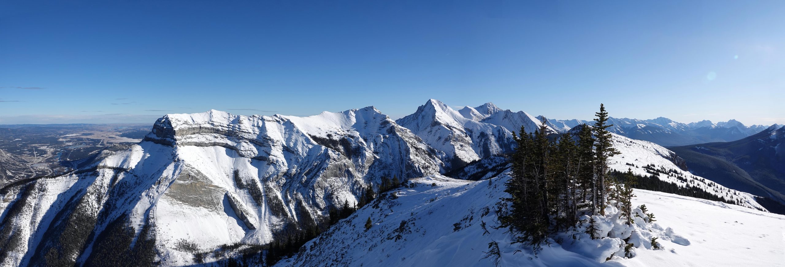
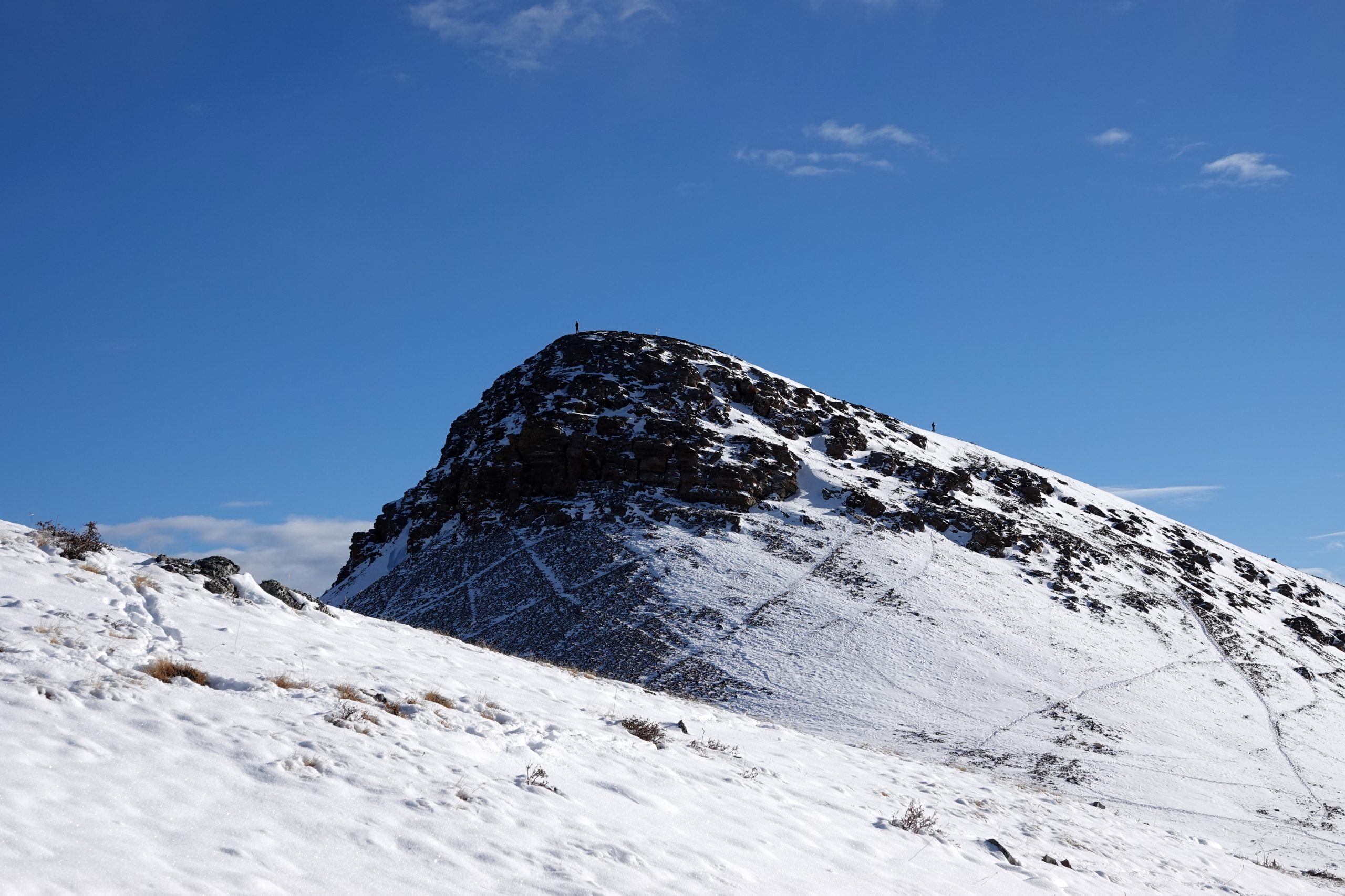
The South Peak (with the weather station) is optional but offers some additional views. These expansive views make Pigeon Mountain a highly rewarding hike for those seeking panoramic vistas of the Canadian Rockies, especially the familiar peaks around Canmore.
Location: The trailhead is accessible from Dead Man’s Flats, a 10-minute drive from Canmore or about an hour from Calgary.
Directions: Drive west on the Trans-Canada Highway from Calgary, take the Dead Man Flats exit, go south on the overpass, and drive up a gravel road to a parking lot just past the Banff Gate Mountain Resort.
The hike starts at the main trailhead, approximately 100 meters from the intersection. Go left and start hiking under the powerline. Follow the trail towards Skogan Pass for about 4 km, occasionally weaving away from the powerline and into the woods. This section takes roughly 1 hour and 20 minutes to complete. After the 4 km mark, you’ll find a turnoff to the Pigeon Mountain trail. From here, expect steep climbing with a total of 535 meters elevation gain over approximately 2.8 km. The trail becomes a bit steep as you hike up through the trees and then opens to an area where you can catch your breath before the final push to the summit.
Technical Details:
Altitude: The summit of Pigeon Mountain stands at 2,394 meters (7,852 feet).
Elevation Gain: The total elevation gain for the hike is approximately 990 meters (3,247 feet).
Round Trip Time: The hike generally takes around 6 to 6.5 hours for a 15 km round trip
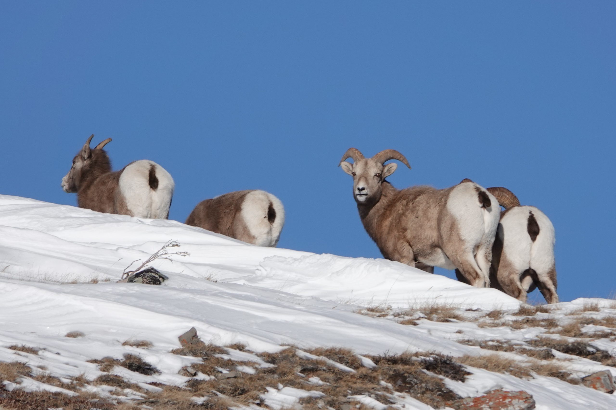
Trail Closure: Note that the trail is closed from December 1st to June 15th for the protection of critical winter range for elk and bighorn sheep.
More photos are here:
Also check out my solo hike in September.